Payload (satellite)
NAVSTAR 53 (USA 175)

NAVSTAR 53 (USA 175) is a satellite launched 2003-12-21 by United States.
About
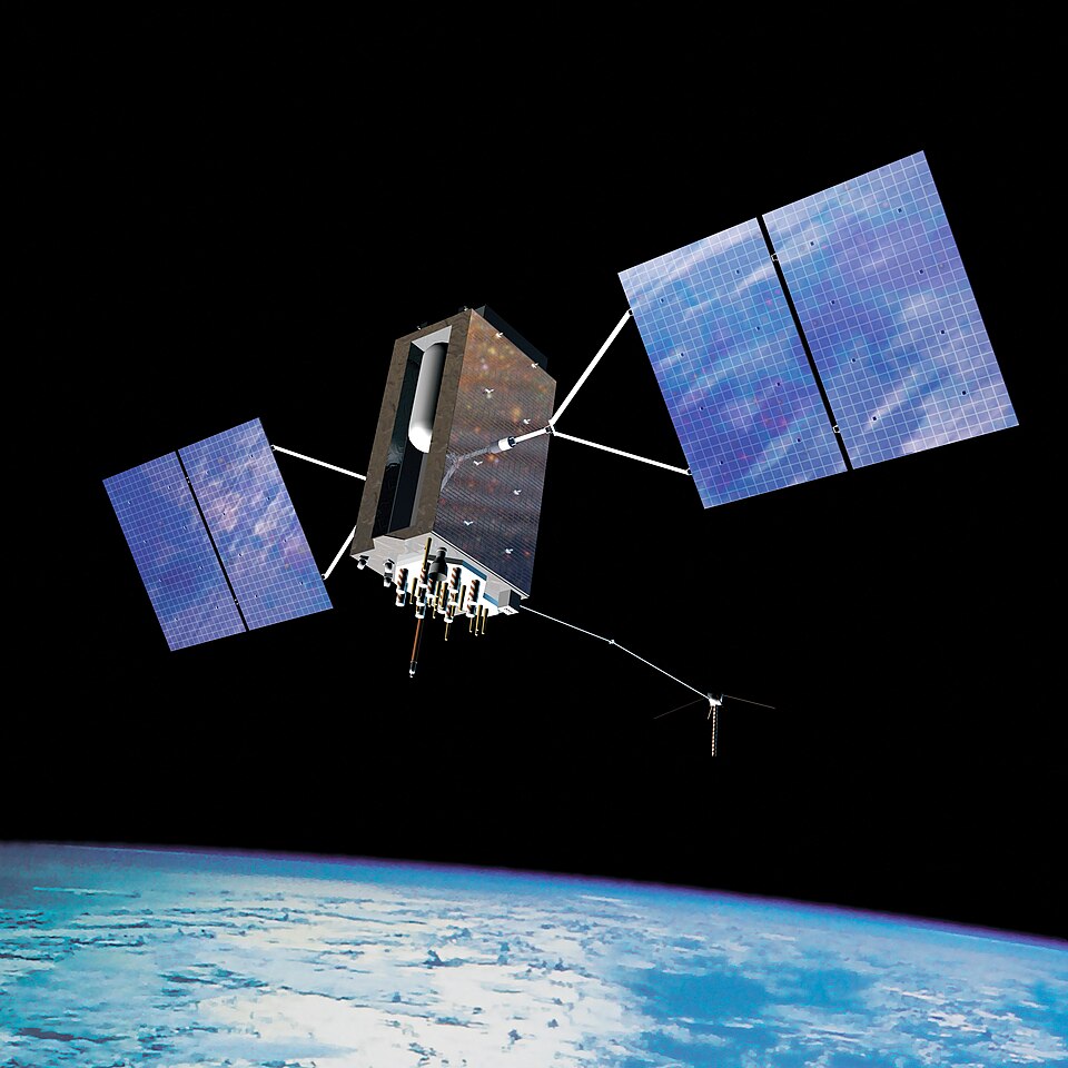
The Global Positioning System (GPS) is a satellite-based hyperbolic navigation system owned by the United States Space Force and operated by Mission Delta 31. It is one of the global navigation satellite systems (GNSS) that provide geolocation and time information to a GPS receiver anywhere on or near the Earth where signal quality permits. It does not require the user to transmit any data, and operates independently of any telephone or Internet reception, though these technologies can enhance the usefulness of the GPS positioning information. It provides critical positioning capabilities to military, civil, and commercial users around the world. Although the United States government created, controls, and maintains GPS, it is freely accessible to anyone with a GPS receiver.
NAVSTAR 53 (USA 175) circles the Earth every 747.4 minutes, about 1.9 times a day, at an average speed of 3.8 km/s.
Its orbit ranges from 20,898 km to 20,906 km above the surface and is tilted 55.1° to the equator.
Right now
Dotted: where it has been. Solid: the next orbit and a half. Orbit data from CelesTrak, map from NASA Blue Marble. All credits