Payload (satellite)
SWOT

SWOT is a satellite launched 2022-12-16 by United States.
About
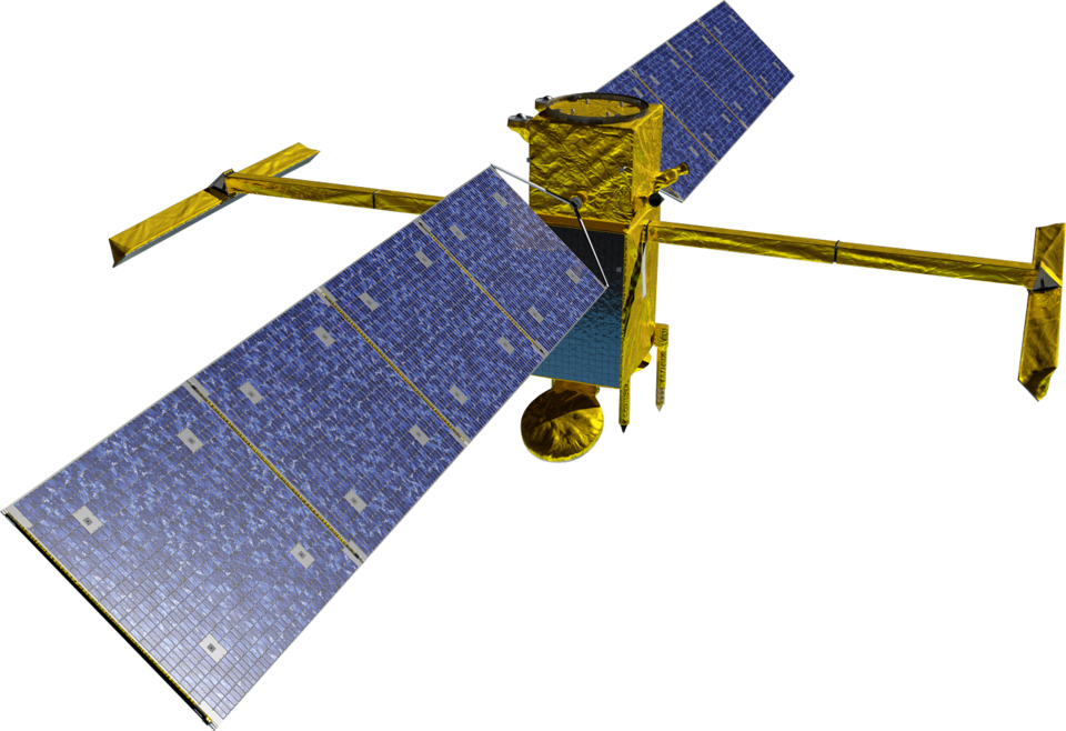
The Surface Water and Ocean Topography (SWOT) mission is a satellite altimeter jointly developed and operated by NASA and CNES, the French space agency, in partnership with the Canadian Space Agency (CSA) and UK Space Agency (UKSA). The objectives of the mission are to make the first global survey of the Earth's surface water, to observe the fine details of the ocean surface topography, and to measure how terrestrial surface water bodies change over time.
Right now
Dotted: where it has been. Solid: the next orbit and a half. Orbit data from CelesTrak, map from NASA Blue Marble. All credits
Position...
Altitude...
Speed...
Near...
Facts
NORAD ID54754
International designator2022-173A
TypePayload (satellite)
StatusOperational
OwnerUnited States
Launch date2022-12-16
Launch siteVandenberg, USA
Orbital period102.8 min
Inclination77.61°
Apogee893 km
Perigee893 km